
3 XII (4.45 Warsaw time): Andrzej B. Kutiak (Technische Universität München), ‘Marea’/Northern Hawarriya: the planning of a Byzantine town
Abstract
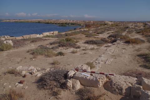
This paper will present a general map of the ‘Marea’ archaeological site. The process of mapping the whole site has been initiated in 2018. The area subjected to the documentation covers almost 60 ha (150 ac) and is a significant part of the peninsula projecting into Lake Maryut in Northern Hawwariya.
The map depicts not only the urban settlement but also the adjacent area of agricultural and manufacturing character. As a result, the map gives a picture of spatial relations in their wider contexts, from architectural, through urban to landscape scale. It makes it possible to study the peculiarities of the site during the Byzantine period, as it has never been disturbed by any later interventions.
During the seminar the methodology of the survey will be presented as well as conclusions of preliminary settlement’s analyses will be discussed, with the special focus on the urban planning issues.